Current Weather Conditions at Polk City, IA

Click HERE for current detailed data


Hazardous Weather Conditions
This Afternoon
This Afternoon: Cloudy, with a high near 68. East wind 3 to 5 mph.
High: 68 °F
Cloudy
This Afternoon: Cloudy, with a high near 68. East wind 3 to 5 mph.
Tonight
Tonight: Mostly cloudy, with a low around 58. East wind around 5 mph becoming calm  in the evening.
Low: 58 °F
Mostly Cloudy
Tonight: Mostly cloudy, with a low around 58. East wind around 5 mph becoming calm in the evening.
Monday
Monday: Patchy fog before 9am.  Otherwise, partly sunny, with a high near 72. Calm wind becoming southeast around 6 mph in the afternoon.
High: 72 °F
Patchy Fog
then Mostly
Sunny
Monday: Patchy fog before 9am. Otherwise, partly sunny, with a high near 72. Calm wind becoming southeast around 6 mph in the afternoon.
Monday Night
Monday Night: Partly cloudy, with a low around 58. South southeast wind around 6 mph.
Low: 58 °F
Partly Cloudy
Monday Night: Partly cloudy, with a low around 58. South southeast wind around 6 mph.
Tuesday
Tuesday: A chance of showers, with thunderstorms also possible after 4pm.  Mostly cloudy, with a high near 73. South southeast wind 6 to 10 mph.  Chance of precipitation is 50%. New rainfall amounts of less than a tenth of an inch, except higher amounts possible in thunderstorms.
High: 73 °F
Slight Chance
Showers then
Chance
Showers
Tuesday: A chance of showers, with thunderstorms also possible after 4pm. Mostly cloudy, with a high near 73. South southeast wind 6 to 10 mph. Chance of precipitation is 50%. New rainfall amounts of less than a tenth of an inch, except higher amounts possible in thunderstorms.
Tuesday Night
Tuesday Night: Showers and possibly a thunderstorm.  Low around 64. Chance of precipitation is 90%. New rainfall amounts between a quarter and half of an inch possible.
Low: 64 °F
Showers
Tuesday Night: Showers and possibly a thunderstorm. Low around 64. Chance of precipitation is 90%. New rainfall amounts between a quarter and half of an inch possible.
Wednesday
Wednesday: Showers, with thunderstorms also possible after 7am.  High near 73. Chance of precipitation is 80%.
High: 73 °F
Showers
Wednesday: Showers, with thunderstorms also possible after 7am. High near 73. Chance of precipitation is 80%.
Wednesday Night
Wednesday Night: Showers and possibly a thunderstorm.  Low around 63. Chance of precipitation is 80%.
Low: 63 °F
Showers
Wednesday Night: Showers and possibly a thunderstorm. Low around 63. Chance of precipitation is 80%.
Thursday
Thursday: A 50 percent chance of showers.  Mostly cloudy, with a high near 68.
High: 68 °F
Chance
Showers
Thursday: A 50 percent chance of showers. Mostly cloudy, with a high near 68.
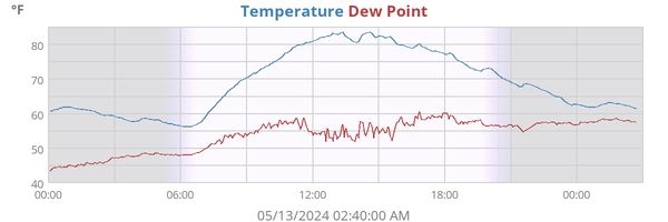
Temperature 63.3°F
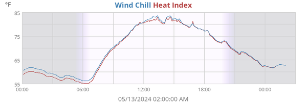
Heat Index 63.8°F
Wind Chill 63.3°F
Dew Point 62.1°F
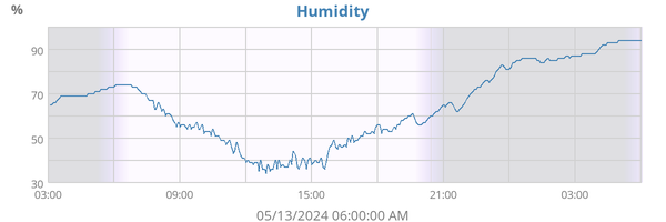
Humidity 96%
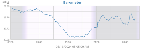
Barometer 30.096 inHg (-0.001)
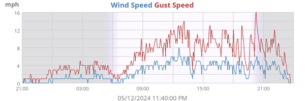
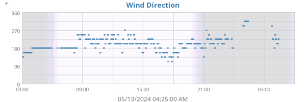
Wind 1 mph SE (135°)
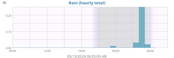
Rain Rate 0.00 in/h
Rain Today 0.11 in
 

Click for the NWS Forecast  This weatherstation on WU   the WU forecast  the Wundermap CWOP data


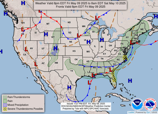
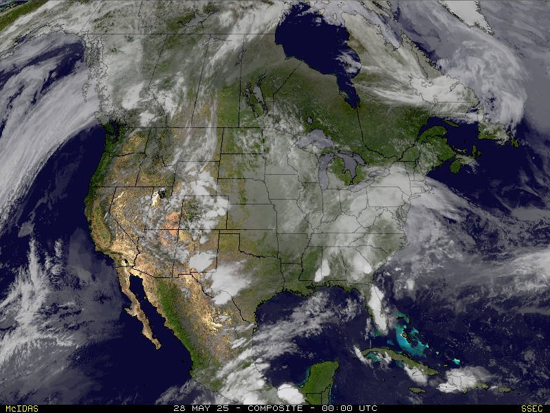
National Weather Outlook GOES East Sat Image WISC Sat Image
Storm reports weather alerts


Images curtesy of NOAA and NWS

HTML valid?